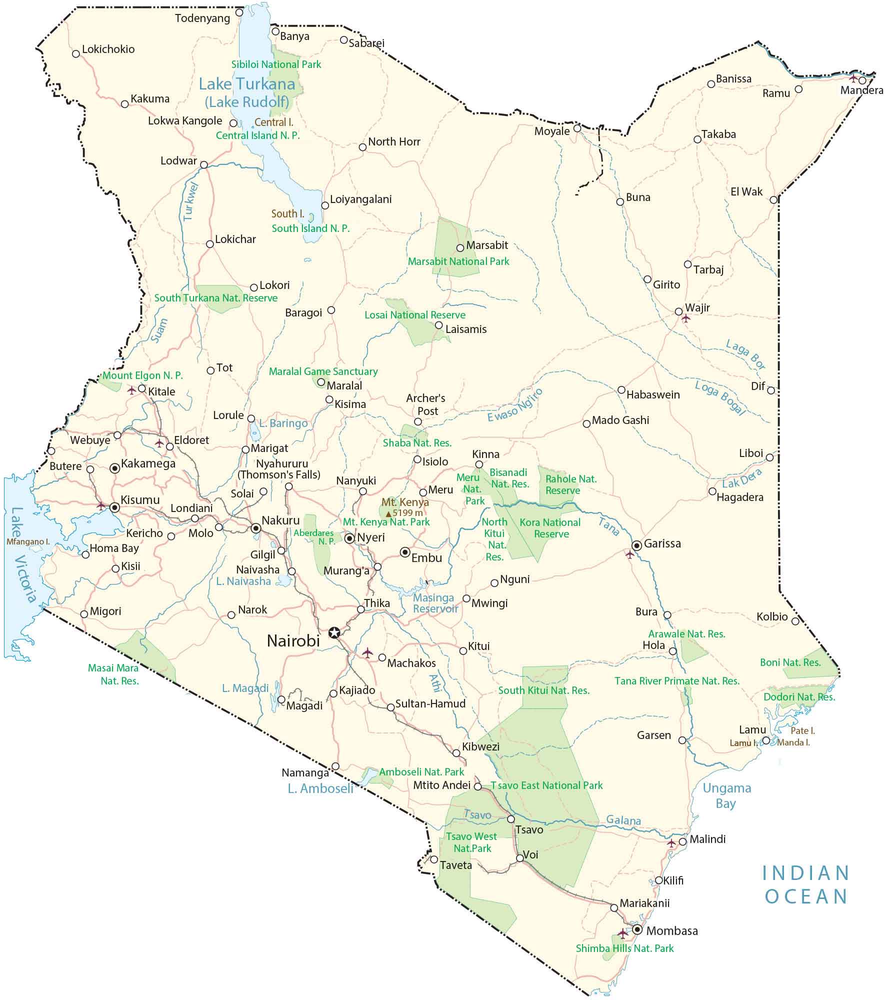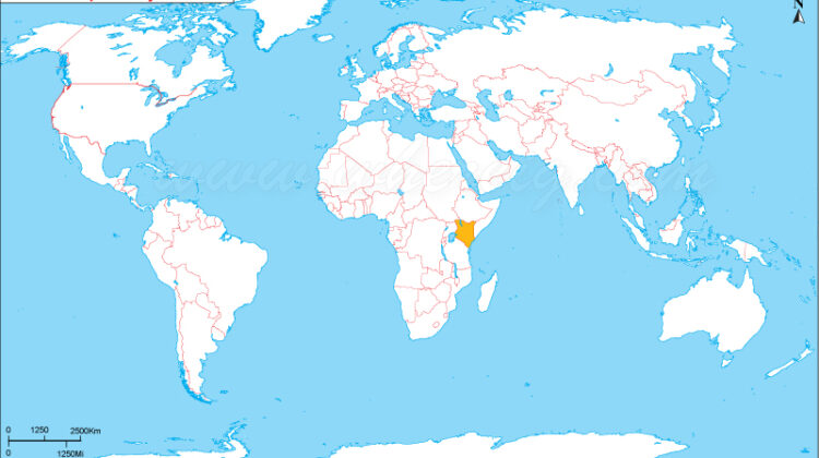
Map of Kenya
Map of Kenya, Kenya is located in East Africa, bordered by Tanzania, Uganda, South Sudan, Ethiopia, Somalia, and the Indian Ocean. The country covers about 580,367 square kilometers (224,081 square miles), featuring diverse landscapes, including:
🗻 Mountains – Mount Kenya (the second-highest peak in Africa).
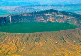
🏞️ Rift Valley – A dramatic valley with lakes and escarpments.
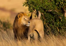
🌍 National Parks – Masai Mara, Amboseli, Tsavo, and more.
🌊 Coastline – Indian Ocean beaches like Diani and Watamu.
🏙️ Major Cities – Nairobi (capital), Mombasa (coastal hub), Kisumu, and Nakuru.
Kenya’s location near the equator gives it varied climates, from hot coastal areas to cool highlands. The Great Rift Valley runs through the country, shaping its unique geography.